James Niehues Announces Retirement
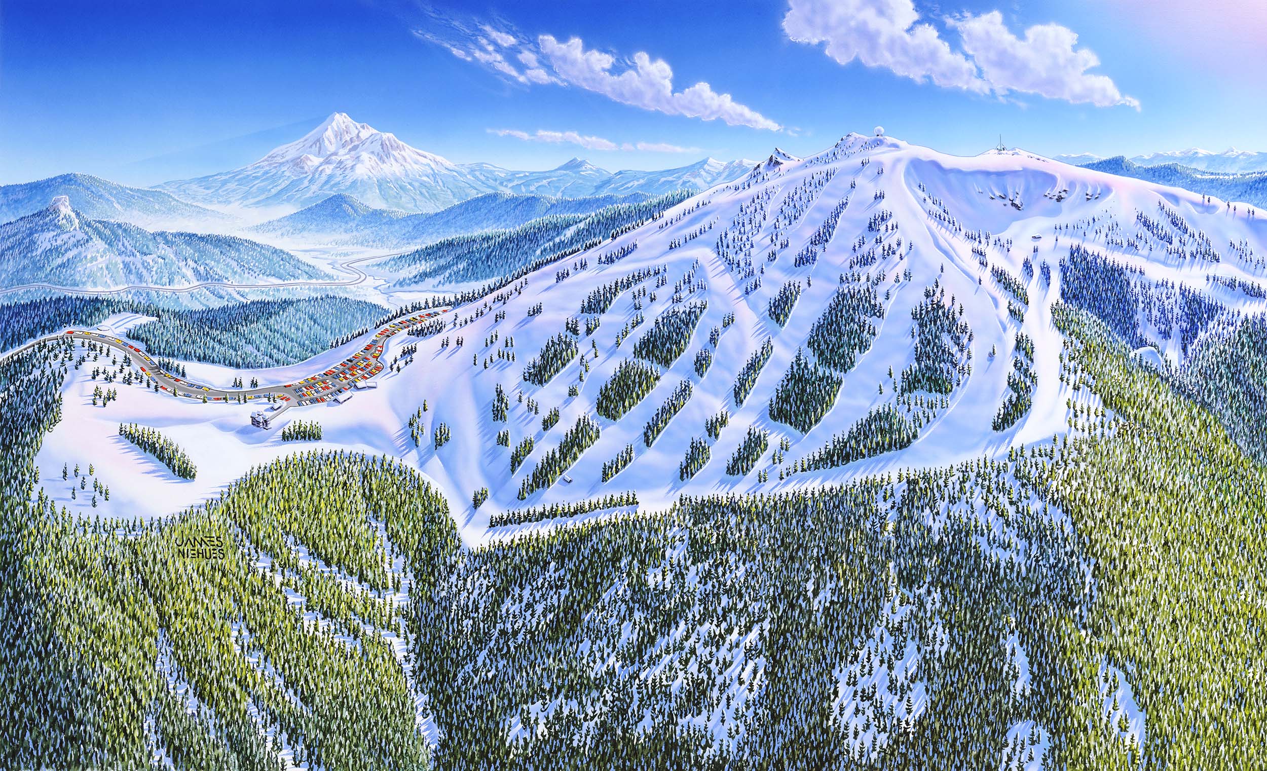
James Niehues, the artist who created Mt. Ashland’s iconic trail map images, has announced he is retiring after more than 30 years of creating art for ski area trail maps.
From Niehues’ website:
I have been painting aerial views since 1986. The first ski map was in 1988, and since then I’ve created over 350 different views for resorts, tourist bureaus, golf communities and outdoor sports related entities. My clients are all over the world from the US to Canada, China, Australia, Chile, Japan, Korea, Scotland, New Zealand and Serbia. Each view is hand painted by brush and airbrush using opaque watercolor to capture the detail and variations of nature’s beauty. In many instances, distortions are necessary to bring everything into a single view. The trick is to do this without the viewer realizing that anything has been altered from the actual perspective.
 I have been painting aerial views since 1986. The first ski map was in 1988, and since then I’ve created over 350 different views for resorts, tourist bureaus, golf communities and outdoor sports related entities. My clients are all over the world from the US to Canada, China, Australia, Chile, Japan, Korea, Scotland, New Zealand and Serbia. Each view is hand painted by brush and airbrush using opaque watercolor to capture the detail and variations of nature’s beauty. In many instances, distortions are necessary to bring everything into a single view. The trick is to do this without the viewer realizing that anything has been altered from the actual perspective.
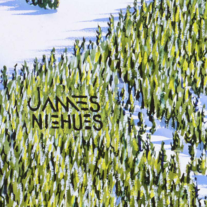
We thank James for sharing his body of work with the world and making beautiful trail maps that best reflect the natural splendor experienced at each resort he captured. We keep a copy of Niehues’ book of trail maps at the T-Bar in the Lodge. Stop by this winter and enjoy his amazing artistry!